Intake Head
Time : 2 hours
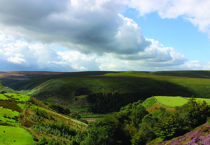
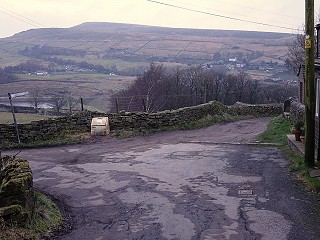
Discover historic farms, the famous Huddersfield Narrow Canal tunnel and the Wessenden Valley, along with far-reaching views of the Colne Valley.
Detailed History Notes
As well as the main Map Leaflet or GPX and MPA digital files (below), you can also download a fuller set of history notes for this route. These were researched and supplied by Marsden History Group for the original version of this walk, first published in 2012.
Click here to download > Intake Head detailed history notes
Share the Intake Head walk
Downloads
How Tricky Is it? - Intake Head
This walk is graded as Moderate
A medium length walk requiring a reasonable level of fitness, crossing hilly ground or moorland with rising and falling levels.
Paths may be rough and uneven, with some steeper slopes, or longer sections of ascent and descent.
Walking boots and warm, waterproof clothing essential.
Intake Head Precis Map

The Full Directions - Intake Head
-
From the railway station walk westwards along the can towpath for 1/2 mile to Tunnel End (signposted).
-
1Arrive at Tunnel End and Standedge Visitor Centre.
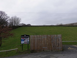
Take the path on the left of the grassy bank leading through the wall onto a road.
-
2The road soon divides.
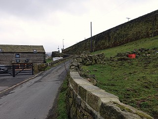
Take the left fork, continue up to the main A62 Manchester Road.
-
3Turn right for about 50m.
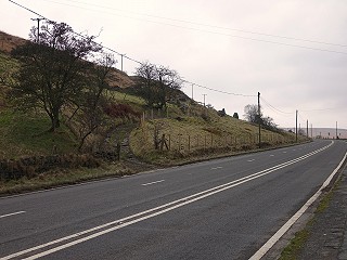
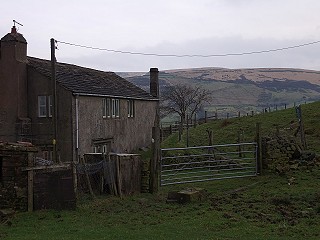
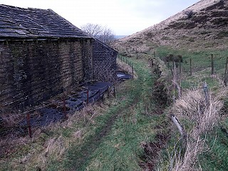
Then cross the road to a sunken track. Continue up the track towards Intake Head Farm.
-
4Shortly before the buildings go through a gate slightly off the path to your right.
Follow the worn path a short way uphill then bear left behind the farm.
Cross two boardwalks and back down a tile over the wall on the far side of the buildings. Drop down as far as a wall then turn right to follow this over another series of boardwalks. After 120m turn left when you reach the wall and stream ahead.
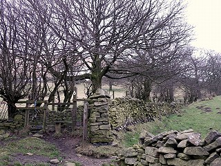
Approaching the wooded valley find a step-through gap in the wall to your right, which leads you to two short bridges over the streams, through the trees and to another stile into the fields. Continue with the wall on your left.
-
5At the end of the path turn off to your left and through a gate.
Take the path down the hillside between the new tree plantation and a wall.
-
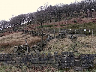
6About halfway down the plantation turn right over a stile signposted to Old Mount Road
Follow a path across fields.
When the wall turns left, continue straight ahead, eventually dropping down to a stream.
-
7At the stream, turn right.
Then turn immediately left through a gate in the wall and walk up to High Gate Farm above with the wall on your left.
-
8Pass through a metal farm gate.
Continue with the farmhouse on your left onto a walled track (a post to the right marked W. A. 1671 is possibly a waystone for the old packhorse route).
Continue along the path towards Clark Hill Farm. Once past the farm, the track drops down to Old Mount Road.
-
9Cross the road and turn right.
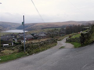
After 25m join another track left down to Mount Road towards Butterley Reservoir.
Cross Mount Road towards the reservoir and pass a row of garages on your right then turn right through a gate.
Follow the path curving left around the house. Then right through a gate on to a track along the reservoir embankment. At the other side of the reservoir pass the spectacular listed spillway (note information boards provided by Yorkshire Water), then turn right along the broad track.
-
10About 700m along the broad track, turn left up a path through a wooded area.
-
11At the top the path turns left towards a house.
Take a right hand fork across a stile and along a narrow walled path.
Climb two more stiles, emerge on to a lane and turn left towards houses on your left.
Continue down the road until it turns sharp left.
-
12At the bend turn right towards Peters Farm.
Keep straight on through a farmyard past the buildings, through a field gate and onto a grassy track.
-
13The grassy track descends towards the derelict remains of a row of cottages.
Pass by the side of the cottages on your left and continue along the path with views of Marsden down below to your left.
The path passes through a wooden kissing gate, crosses a stream along a boardwalk and through another small wooden gate. Follow the path as it begins to head downhill and bends to the left towards the stables and paddock.
-
14Walk through the gap in the low wall and down the stone steps between the buildings.

Curve left through the farmyard, the turn right, following the road downhilll, eventually crossing Carrs Road.
Keeping the park on your right, head back down into Marsden village, crossing the A62.
Continue along the main road (Peel Street) and when the road forks by the Riverhead pub, take the left fork back up to Marsden station.